Road and Rail Bridges
Introduction
The photograph on this page of Road and Rail Bridges by Alan Hughes as part of the Geograph project.
The Geograph project started in 2005 with the aim of publishing, organising and preserving representative images for every square kilometre of Great Britain, Ireland and the Isle of Man.

There are currently over 7.5m images from over 14,400 individuals and you can help contribute to the project by visiting https://www.geograph.org.uk
Road and Rail Bridges
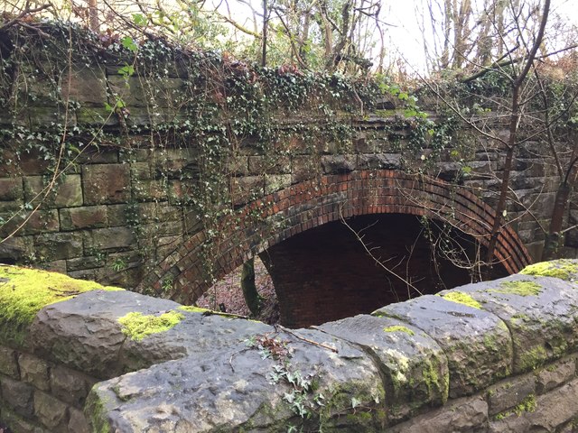
Image: © Alan Hughes Taken: 1 Feb 2017
Both road and rail cross the streams with bridges where the Nant Cwm Wernderi flows into the Ffrwd Wyllt.
Images are licensed for reuse under creativecommons.org/licenses/by-sa/2.0
Image Location
Latitude
51.600413
Longitude
-3.735015