Branscombe Lane
Introduction
The photograph on this page of Branscombe Lane by Derek Harper as part of the Geograph project.
The Geograph project started in 2005 with the aim of publishing, organising and preserving representative images for every square kilometre of Great Britain, Ireland and the Isle of Man.

There are currently over 7.5m images from over 14,400 individuals and you can help contribute to the project by visiting https://www.geograph.org.uk
Branscombe Lane
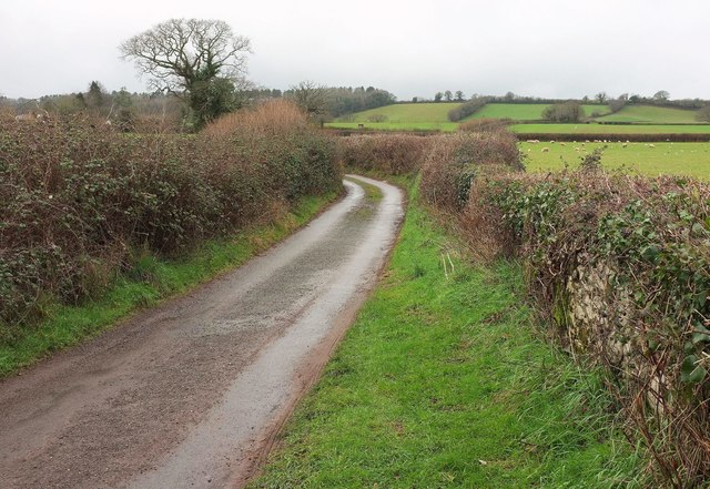
Image: © Derek Harper Taken: 1 Feb 2017
From where it crosses a small stream (the Shutterton Brook, I would say), looking up the lane towards its junction with Hensford Road.
Images are licensed for reuse under creativecommons.org/licenses/by-sa/2.0
Image Location


Leaflet Map data © OpenStreetMap
Latitude
50.601299
Longitude
-3.480805