Nether Exe: east to Killerton Park
Introduction
The photograph on this page of Nether Exe: east to Killerton Park by Martin Bodman as part of the Geograph project.
The Geograph project started in 2005 with the aim of publishing, organising and preserving representative images for every square kilometre of Great Britain, Ireland and the Isle of Man.

There are currently over 7.5m images from over 14,400 individuals and you can help contribute to the project by visiting https://www.geograph.org.uk
Nether Exe: east to Killerton Park
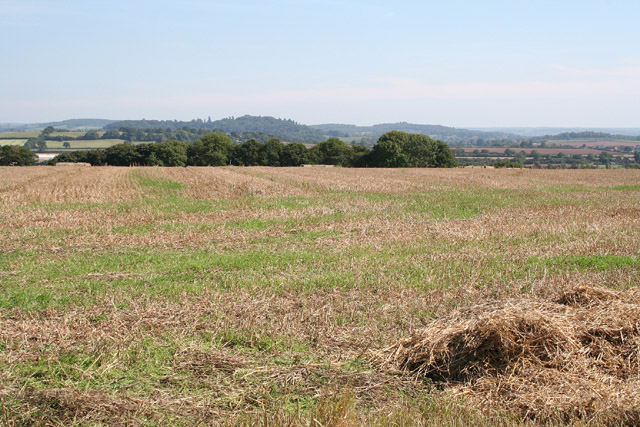
Image: © Martin Bodman Taken: 12 Sep 2005
Seen from the Thorverton-Brampford Speke road, south of Yellowford, on the west bank of the Exe
Images are licensed for reuse under creativecommons.org/licenses/by-sa/2.0
Image Location


Leaflet Map data © OpenStreetMap
Latitude
50.789588
Longitude
-3.525054