Lurg and the Fintry Hills
Introduction
The photograph on this page of Lurg and the Fintry Hills by Richard Sutcliffe as part of the Geograph project.
The Geograph project started in 2005 with the aim of publishing, organising and preserving representative images for every square kilometre of Great Britain, Ireland and the Isle of Man.

There are currently over 7.5m images from over 14,400 individuals and you can help contribute to the project by visiting https://www.geograph.org.uk
Lurg and the Fintry Hills
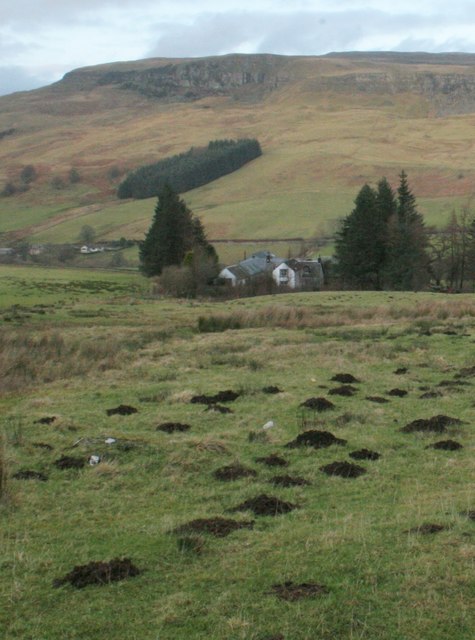
Image: © Richard Sutcliffe Taken: 29 Jan 2017
Seen from the B822 at the roadend to Townhead. A small conifer plantation sits below Double Craigs at the southwest end of the Fintry Hills. The grassland in the foreground is full of molehills.
Images are licensed for reuse under creativecommons.org/licenses/by-sa/2.0
Image Location
Latitude
56.042941
Longitude
-4.187959