Castleton main street
Introduction
The photograph on this page of Castleton main street by Gordon Hatton as part of the Geograph project.
The Geograph project started in 2005 with the aim of publishing, organising and preserving representative images for every square kilometre of Great Britain, Ireland and the Isle of Man.

There are currently over 7.5m images from over 14,400 individuals and you can help contribute to the project by visiting https://www.geograph.org.uk
Castleton main street
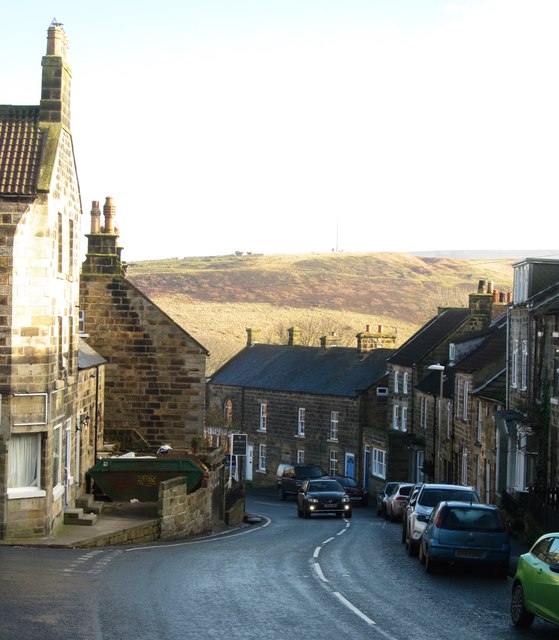
Image: © Gordon Hatton Taken: 29 Jan 2017
Looking down the lower end of the main street in Castleton. The tightly packed terraces here suggest more of an urban townscape, despite this being a modest sized village.
Images are licensed for reuse under creativecommons.org/licenses/by-sa/2.0
Image Location
Latitude
54.462992
Longitude
-0.939658