Bournemouth: footpath B03 and Avon House
Introduction
The photograph on this page of Bournemouth: footpath B03 and Avon House by Chris Downer as part of the Geograph project.
The Geograph project started in 2005 with the aim of publishing, organising and preserving representative images for every square kilometre of Great Britain, Ireland and the Isle of Man.

There are currently over 7.5m images from over 14,400 individuals and you can help contribute to the project by visiting https://www.geograph.org.uk
Bournemouth: footpath B03 and Avon House
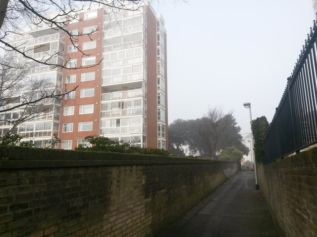
Image: © Chris Downer Taken: 23 Jan 2017
Looking along this public footpath, connecting West Cliff Road with the West Cliff, on a foggy afternoon as it passes one of the desirable apartment on this western side of the town centre. See Image for the view towards us from along the path ahead, and Image for the view along the path from the end behind us.
Images are licensed for reuse under creativecommons.org/licenses/by-sa/2.0
Image Location
Latitude
50.716053
Longitude
-1.88564