Westerhope summit area
Introduction
The photograph on this page of Westerhope summit area by Anthony Foster as part of the Geograph project.
The Geograph project started in 2005 with the aim of publishing, organising and preserving representative images for every square kilometre of Great Britain, Ireland and the Isle of Man.

There are currently over 7.5m images from over 14,400 individuals and you can help contribute to the project by visiting https://www.geograph.org.uk
Westerhope summit area
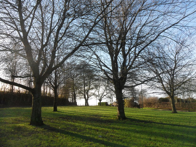
Image: © Anthony Foster Taken: 17 Dec 2016
The highest point in the Metropolitan District of Newcastle upon Tyne. Westerhope is the name given by the Database of British and Irish Hills to the summit, and by OS to the nearby trig pillar Image Westerhope village lies about half a mile to the north of the summit and was the name adopted by the Northern Allotment Society for the village in 1893, as this was to be ‘the hope of the west’. The Scout Association’s ‘House on the Hill’ Image] on Hillhead Road and the reservoir was originally shown on the six inch map as a farmhouse named Denton Hill Head and probably predates the village of Westerhope, although Denton Hill Head is no longer used locally.
Images are licensed for reuse under creativecommons.org/licenses/by-sa/2.0
Image Location
Latitude
54.996418
Longitude
-1.707516