The King's Head
Introduction
The photograph on this page of The King's Head by Ian Capper as part of the Geograph project.
The Geograph project started in 2005 with the aim of publishing, organising and preserving representative images for every square kilometre of Great Britain, Ireland and the Isle of Man.

There are currently over 7.5m images from over 14,400 individuals and you can help contribute to the project by visiting https://www.geograph.org.uk
The King's Head
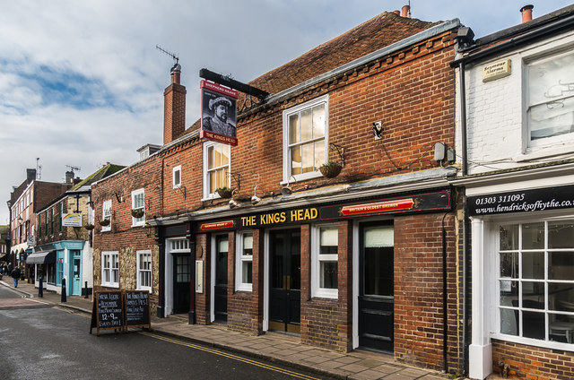
Image: © Ian Capper Taken: 16 Jan 2017
Shepherd Neame Pub in two sections, the far part being an 18th Century front on an older timber frame, the near part being 18th Century. Grade II listed - see www.historicengland.org.uk/listing/the-list/list-entry/1299468.
Images are licensed for reuse under creativecommons.org/licenses/by-sa/2.0
Image Location
Latitude
51.071934
Longitude
1.087053