Colney Street: Watling Street
Introduction
The photograph on this page of Colney Street: Watling Street by Nigel Cox as part of the Geograph project.
The Geograph project started in 2005 with the aim of publishing, organising and preserving representative images for every square kilometre of Great Britain, Ireland and the Isle of Man.

There are currently over 7.5m images from over 14,400 individuals and you can help contribute to the project by visiting https://www.geograph.org.uk
Colney Street: Watling Street
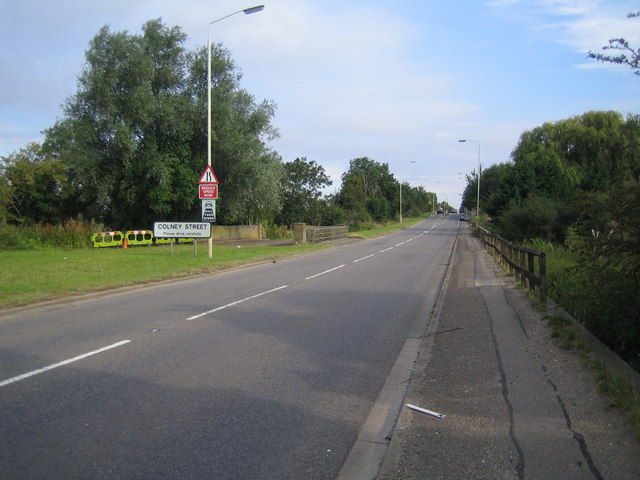
Image: © Nigel Cox Taken: 12 Aug 2007
This is now the A5183 Radlett Road, but used to be the A5 Watling Street, at the southern approach to Colney Street. Just beyond the Colney Street road sign is Colneystreet Bridge which carries the road over the River Colne.
Images are licensed for reuse under creativecommons.org/licenses/by-sa/2.0
Image Location
Latitude
51.703044
Longitude
-0.32855