Douglas Avenue
Introduction
The photograph on this page of Douglas Avenue by Ian Capper as part of the Geograph project.
The Geograph project started in 2005 with the aim of publishing, organising and preserving representative images for every square kilometre of Great Britain, Ireland and the Isle of Man.

There are currently over 7.5m images from over 14,400 individuals and you can help contribute to the project by visiting https://www.geograph.org.uk
Douglas Avenue
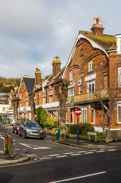
Image: © Ian Capper Taken: 16 Jan 2017
Late Victorian road linking Prospect Road and High Street. The suggestion is that they were built by local brewers, Mackesons, for their senior management.
Images are licensed for reuse under creativecommons.org/licenses/by-sa/2.0
Image Location
Latitude
51.071805
Longitude
1.088529