Between bridges, River Roding
Introduction
The photograph on this page of Between bridges, River Roding by Robin Webster as part of the Geograph project.
The Geograph project started in 2005 with the aim of publishing, organising and preserving representative images for every square kilometre of Great Britain, Ireland and the Isle of Man.

There are currently over 7.5m images from over 14,400 individuals and you can help contribute to the project by visiting https://www.geograph.org.uk
Between bridges, River Roding
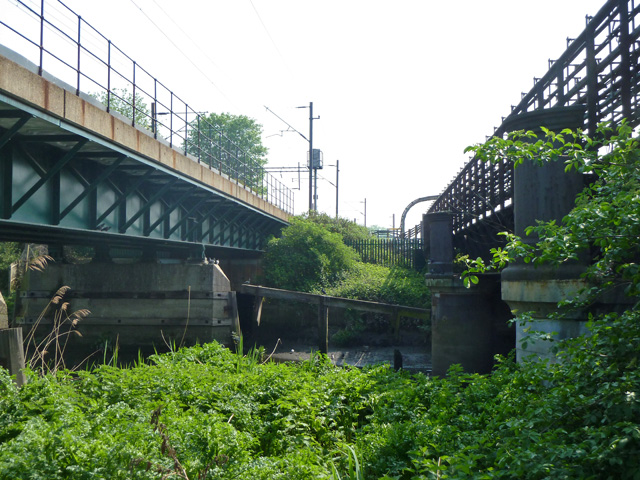
Image: © Robin Webster Taken: 24 Apr 2011
The District Line bridge is on the right, the Barking - Forest Gate line on the left.
Images are licensed for reuse under creativecommons.org/licenses/by-sa/2.0
Image Location
Latitude
51.543835
Longitude
0.069274