Open cast, Skares
Introduction
The photograph on this page of Open cast, Skares by Richard Webb as part of the Geograph project.
The Geograph project started in 2005 with the aim of publishing, organising and preserving representative images for every square kilometre of Great Britain, Ireland and the Isle of Man.

There are currently over 7.5m images from over 14,400 individuals and you can help contribute to the project by visiting https://www.geograph.org.uk
Open cast, Skares
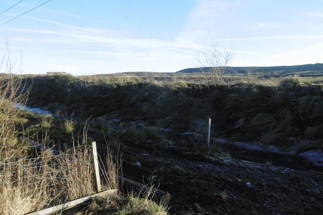
Image: © Richard Webb Taken: 21 Jan 2017
A deep ditch routes water around a deep hole. The hills between here, Dalmellington and New Cumnock have vast areas dug up. Some of the mines are active again after a long period of financial chaos in the industry.
Images are licensed for reuse under creativecommons.org/licenses/by-sa/2.0
Image Location
Latitude
55.429148
Longitude
-4.316986