Once a chapel
Introduction
The photograph on this page of Once a chapel by Michael Dibb as part of the Geograph project.
The Geograph project started in 2005 with the aim of publishing, organising and preserving representative images for every square kilometre of Great Britain, Ireland and the Isle of Man.

There are currently over 7.5m images from over 14,400 individuals and you can help contribute to the project by visiting https://www.geograph.org.uk
Once a chapel
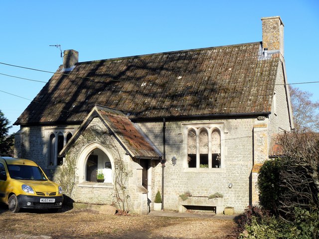
Image: © Michael Dibb Taken: 21 Jan 2017
Built in 1797 and registered for independent meetings, the chapel had closed by 1850. The chapel was used as a Primitive Methodist chapel from 1855 to about 1885.
Images are licensed for reuse under creativecommons.org/licenses/by-sa/2.0
Image Location
Latitude
51.324233
Longitude
-1.839793