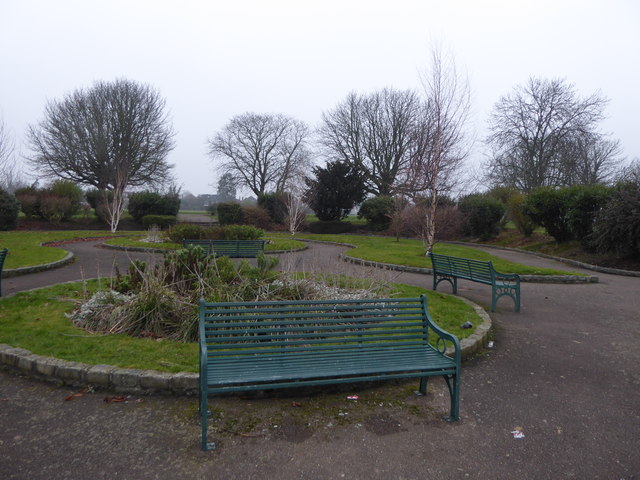
Clayhall Park
Introduction
The photograph on this page of Clayhall Park by Marathon as part of the Geograph project.
The Geograph project started in 2005 with the aim of publishing, organising and preserving representative images for every square kilometre of Great Britain, Ireland and the Isle of Man.
There are currently over 7.5m images from over 14,400 individuals and you can help contribute to the project by visiting https://www.geograph.org.uk

Image: © Marathon Taken: 25 Jan 2017
Clayhall Park is on former land of the Manor of Clay Hall, which was broken up in 1927. First mentioned in 1203 when it was owned by Barking Abbey, it probably remained in ownership of the de la Claie or Clay family until 1313 and then passed through various owners. The manor house and grounds were first called Clayhall in 1410.The manor house was once a substantial building as it was the residence of rich and titled owners. It was demolished in the mid-18th century and replaced by a farmhouse and buildings. Clayhall Park opened to the public in 1934 and the farmhouse, outbuildings and chapel were demolished in 1935.

