Approaching a blind summit on Ermine Street
Introduction
The photograph on this page of Approaching a blind summit on Ermine Street by Graham Hogg as part of the Geograph project.
The Geograph project started in 2005 with the aim of publishing, organising and preserving representative images for every square kilometre of Great Britain, Ireland and the Isle of Man.

There are currently over 7.5m images from over 14,400 individuals and you can help contribute to the project by visiting https://www.geograph.org.uk
Approaching a blind summit on Ermine Street
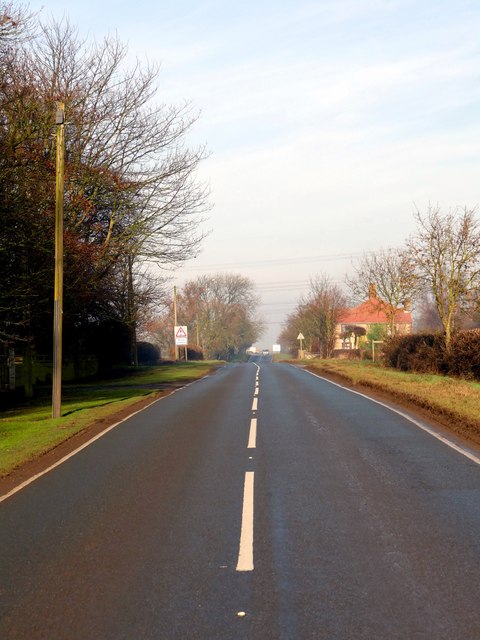
Image: © Graham Hogg Taken: 24 Jan 2017
The 193 mile Roman Road which ran from London to York here is a minor road to the east of Winterton
Images are licensed for reuse under creativecommons.org/licenses/by-sa/2.0
Image Location
Latitude
53.666029
Longitude
-0.576234