The NE end of Dry Lane
Introduction
The photograph on this page of The NE end of Dry Lane by Roger Templeman as part of the Geograph project.
The Geograph project started in 2005 with the aim of publishing, organising and preserving representative images for every square kilometre of Great Britain, Ireland and the Isle of Man.

There are currently over 7.5m images from over 14,400 individuals and you can help contribute to the project by visiting https://www.geograph.org.uk
The NE end of Dry Lane
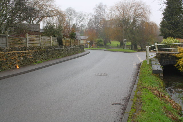
Image: © Roger Templeman Taken: 25 Jan 2017
There is an OS benchmark Image on a stone at the base of the dry stone wall on the left hand side of the road, where the orange notebook is positioned
Images are licensed for reuse under creativecommons.org/licenses/by-sa/2.0
Image Location
Latitude
51.805696
Longitude
-1.506836