Eaten-down beets
Introduction
The photograph on this page of Eaten-down beets by Jonathan Wilkins as part of the Geograph project.
The Geograph project started in 2005 with the aim of publishing, organising and preserving representative images for every square kilometre of Great Britain, Ireland and the Isle of Man.

There are currently over 7.5m images from over 14,400 individuals and you can help contribute to the project by visiting https://www.geograph.org.uk
Eaten-down beets
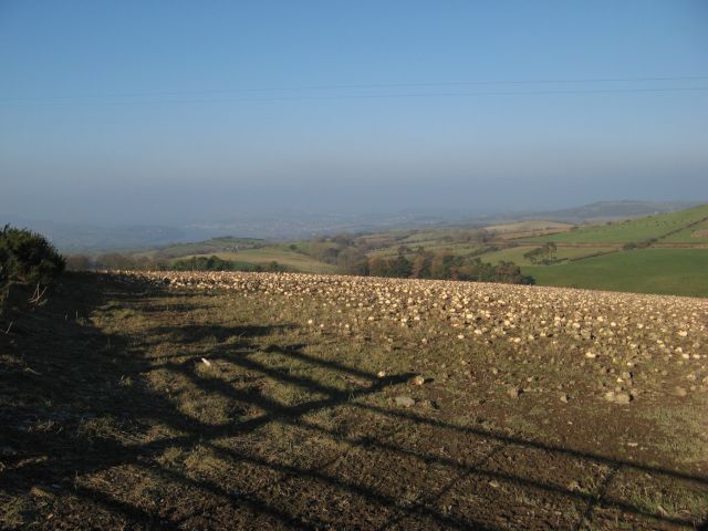
Image: © Jonathan Wilkins Taken: 26 Jan 2017
A field adjacent to the farm appears to be covered in small rocks, but they are actually beets with their green tops and upper parts nibbled off by the sheep.
Images are licensed for reuse under creativecommons.org/licenses/by-sa/2.0
Image Location
Latitude
53.228567
Longitude
-3.76269