Building site, Derringstone Hill
Introduction
The photograph on this page of Building site, Derringstone Hill by John Baker as part of the Geograph project.
The Geograph project started in 2005 with the aim of publishing, organising and preserving representative images for every square kilometre of Great Britain, Ireland and the Isle of Man.

There are currently over 7.5m images from over 14,400 individuals and you can help contribute to the project by visiting https://www.geograph.org.uk
Building site, Derringstone Hill
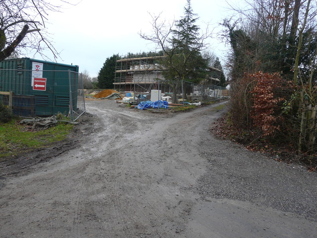
Image: © John Baker Taken: 8 Jan 2017
Planning permission has been granted by Canterbury City Council under application number CA//15/00685 for “the erection of three detached dwellings in the grounds of Sydney House, Barham”.
Images are licensed for reuse under creativecommons.org/licenses/by-sa/2.0
Image Location
Latitude
51.200904
Longitude
1.157337