Failsworth Pole Gardens
Introduction
The photograph on this page of Failsworth Pole Gardens by Gerald England as part of the Geograph project.
The Geograph project started in 2005 with the aim of publishing, organising and preserving representative images for every square kilometre of Great Britain, Ireland and the Isle of Man.

There are currently over 7.5m images from over 14,400 individuals and you can help contribute to the project by visiting https://www.geograph.org.uk
Failsworth Pole Gardens
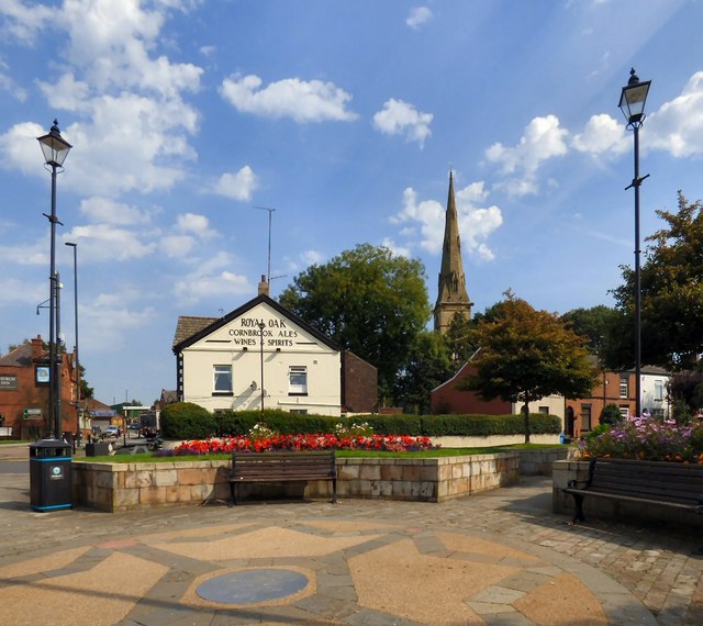
Image: © Gerald England Taken: 13 Sep 2016
The layout of the flowerbeds around the Failsworth Pole (behind the photographer) dates from 2006. On the left of Oldham Road is the Church Inn. Across the road on the corner with Pole Lane is the Royal Oak. In the background is the spire of St John the Evangelist.
Images are licensed for reuse under creativecommons.org/licenses/by-sa/2.0
Image Location
Latitude
53.511161
Longitude
-2.155879