River Stour at Jumpers
Introduction
The photograph on this page of River Stour at Jumpers by mike smith as part of the Geograph project.
The Geograph project started in 2005 with the aim of publishing, organising and preserving representative images for every square kilometre of Great Britain, Ireland and the Isle of Man.

There are currently over 7.5m images from over 14,400 individuals and you can help contribute to the project by visiting https://www.geograph.org.uk
River Stour at Jumpers
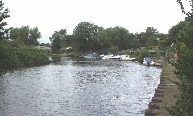
Image: © mike smith Taken: 15 Aug 2007
Much of this part of the Stour is bounded by private land and is thus inaccessible. At this point, however, there is a small nature reserve, where access to the river is freely available. The boats in the middle distance are on private moorings.
Images are licensed for reuse under creativecommons.org/licenses/by-sa/2.0
Image Location
Latitude
50.739313
Longitude
-1.796445