The Wendover Arm at New Mill, Tring
Introduction
The photograph on this page of The Wendover Arm at New Mill, Tring by David Sands as part of the Geograph project.
The Geograph project started in 2005 with the aim of publishing, organising and preserving representative images for every square kilometre of Great Britain, Ireland and the Isle of Man.

There are currently over 7.5m images from over 14,400 individuals and you can help contribute to the project by visiting https://www.geograph.org.uk
The Wendover Arm at New Mill, Tring
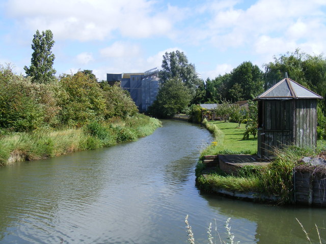
Image: © David Sands Taken: 15 Aug 2007
This is an operational stretch of the Wendover Arm of the Grand Union, with the silos of Heygates flour mill in the distance.
Images are licensed for reuse under creativecommons.org/licenses/by-sa/2.0
Image Location
Latitude
51.807113
Longitude
-0.66122