Marple Bridge, Norfolk Arms
Introduction
The photograph on this page of Marple Bridge, Norfolk Arms by Mike Faherty as part of the Geograph project.
The Geograph project started in 2005 with the aim of publishing, organising and preserving representative images for every square kilometre of Great Britain, Ireland and the Isle of Man.

There are currently over 7.5m images from over 14,400 individuals and you can help contribute to the project by visiting https://www.geograph.org.uk
Marple Bridge, Norfolk Arms
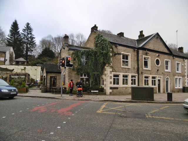
Image: © Mike Faherty Taken: 21 Jan 2017
Good Beer Guide-listed free house at the corner of Town Street and Lower Fold. Open plan, with back bar and eating and drinking areas around the bar; a large collection of pump clips on the ceiling, background music, wood fire, outside seating. Cask ales on offer at my visit: Brightside Citra & Saison 4, Dark Peak Howard Town, Moorhouse's Black Witch, Ticketybrew Golden.
Images are licensed for reuse under creativecommons.org/licenses/by-sa/2.0
Image Location
Latitude
53.401771
Longitude
-2.053805