Wells Cemetery
Introduction
The photograph on this page of Wells Cemetery by Bill Boaden as part of the Geograph project.
The Geograph project started in 2005 with the aim of publishing, organising and preserving representative images for every square kilometre of Great Britain, Ireland and the Isle of Man.

There are currently over 7.5m images from over 14,400 individuals and you can help contribute to the project by visiting https://www.geograph.org.uk
Wells Cemetery
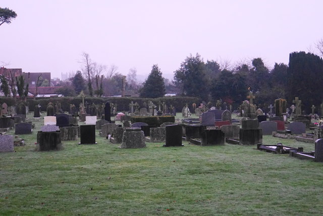
Image: © Bill Boaden Taken: 30 Dec 2016
On the western side of the city. The tower of St Cuthbert's Church is just visible.
Images are licensed for reuse under creativecommons.org/licenses/by-sa/2.0
Image Location
Latitude
51.208715
Longitude
-2.663171