Field by Elm Close
Introduction
The photograph on this page of Field by Elm Close by Bill Boaden as part of the Geograph project.
The Geograph project started in 2005 with the aim of publishing, organising and preserving representative images for every square kilometre of Great Britain, Ireland and the Isle of Man.

There are currently over 7.5m images from over 14,400 individuals and you can help contribute to the project by visiting https://www.geograph.org.uk
Field by Elm Close
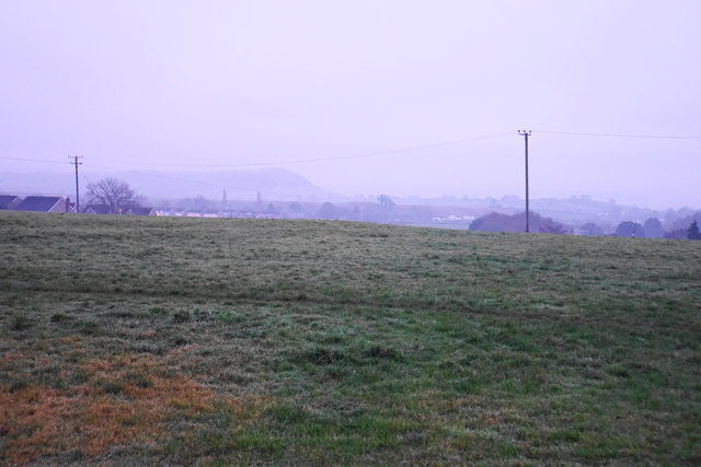
Image: © Bill Boaden Taken: 30 Dec 2016
This field on slightly raised land on the western side of Wells would normally give a better view than this, conditions allowing. The lump of Launcherley Hill is still visible on this misty winter afternoon.
Images are licensed for reuse under creativecommons.org/licenses/by-sa/2.0
Image Location
Latitude
51.207869
Longitude
-2.669601