Torrent
Introduction
The photograph on this page of Torrent by James Johnstone as part of the Geograph project.
The Geograph project started in 2005 with the aim of publishing, organising and preserving representative images for every square kilometre of Great Britain, Ireland and the Isle of Man.

There are currently over 7.5m images from over 14,400 individuals and you can help contribute to the project by visiting https://www.geograph.org.uk
Torrent
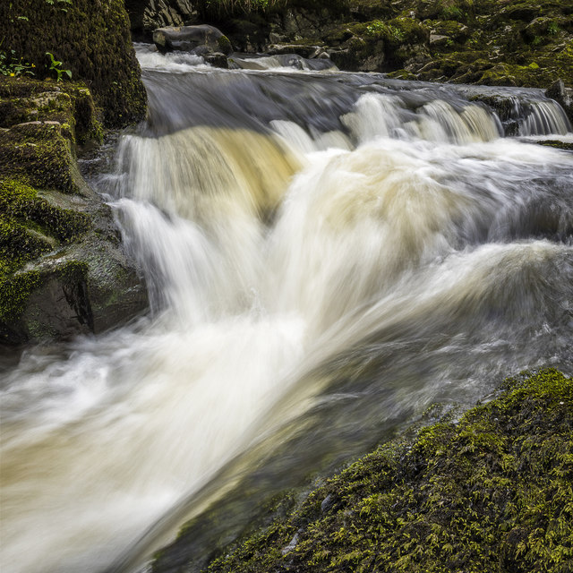
Image: © James Johnstone Taken: 3 May 2016
Check it out on my Flickr page. www.flickr.com/photos/jetjohn/32467318296/in/dateposted-public/ At the Routin' Bridge - Irongray. The only river strictly belonging to the parish is the Auld, which has its source on the confines of Kirkpatrick-Durham, and, after flowing for some miles through this parish in an eastern course, curves towards the north, and falls into the Cairn, which, afterwards taking the name of the Cluden, forms a boundary of the parish. The Auld water, near its influx into the Cairn, makes a small but picturesque cascade of two falls, the highest of which is twenty feet; and near the lower fall is a romantic bridge of one arch, which, from the noise of the water, has obtained the appellation of the Routing Bridge. The above description is taken from "A Topographical Dictionary of Scotland" by Samuel Lewis, published in 1846.
Images are licensed for reuse under creativecommons.org/licenses/by-sa/2.0
Image Location
Latitude
55.099525
Longitude
-3.747384