Slag Lane Borehole
Introduction
The photograph on this page of Slag Lane Borehole by Keith Williamson as part of the Geograph project.
The Geograph project started in 2005 with the aim of publishing, organising and preserving representative images for every square kilometre of Great Britain, Ireland and the Isle of Man.

There are currently over 7.5m images from over 14,400 individuals and you can help contribute to the project by visiting https://www.geograph.org.uk
Slag Lane Borehole
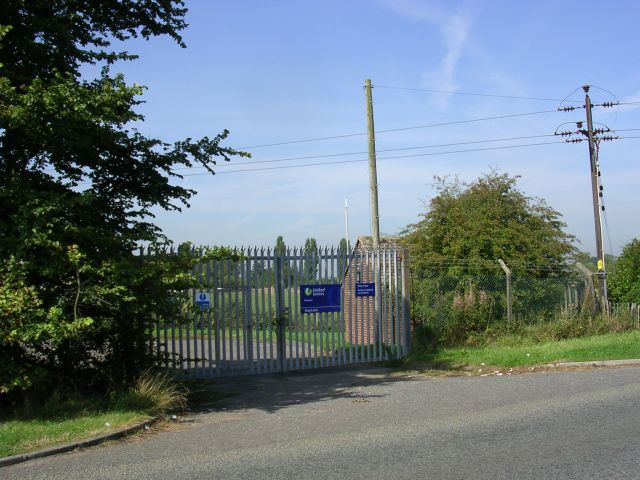
Image: © Keith Williamson Taken: 12 Sep 2005
The compound to the United Utilities Borehole on Slag Lane, north of Lowton. SJ62489919
Images are licensed for reuse under creativecommons.org/licenses/by-sa/2.0
Image Location


Leaflet Map data © OpenStreetMap
Latitude
53.488075
Longitude
-2.566931