Eastern edge of the Dorchester Way estate, Walsgrave, east Coventry
Introduction
The photograph on this page of Eastern edge of the Dorchester Way estate, Walsgrave, east Coventry by Robin Stott as part of the Geograph project.
The Geograph project started in 2005 with the aim of publishing, organising and preserving representative images for every square kilometre of Great Britain, Ireland and the Isle of Man.

There are currently over 7.5m images from over 14,400 individuals and you can help contribute to the project by visiting https://www.geograph.org.uk
Eastern edge of the Dorchester Way estate, Walsgrave, east Coventry
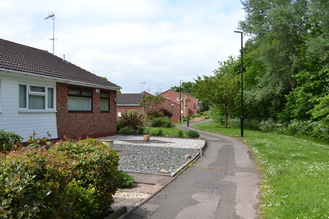
Image: © Robin Stott Taken: 2 Jun 2016
The path provides access for residents; it is not the Sowe Valley footpath. The planted tree screen on the right may mark the edge of the River Sowe floodplain.
Images are licensed for reuse under creativecommons.org/licenses/by-sa/2.0
Image Location
Latitude
52.41487
Longitude
-1.439792