Price's Lane name sign, Newtownards (January 2017)
Introduction
The photograph on this page of Price's Lane name sign, Newtownards (January 2017) by Albert Bridge as part of the Geograph project.
The Geograph project started in 2005 with the aim of publishing, organising and preserving representative images for every square kilometre of Great Britain, Ireland and the Isle of Man.

There are currently over 7.5m images from over 14,400 individuals and you can help contribute to the project by visiting https://www.geograph.org.uk
Price's Lane name sign, Newtownards (January 2017)
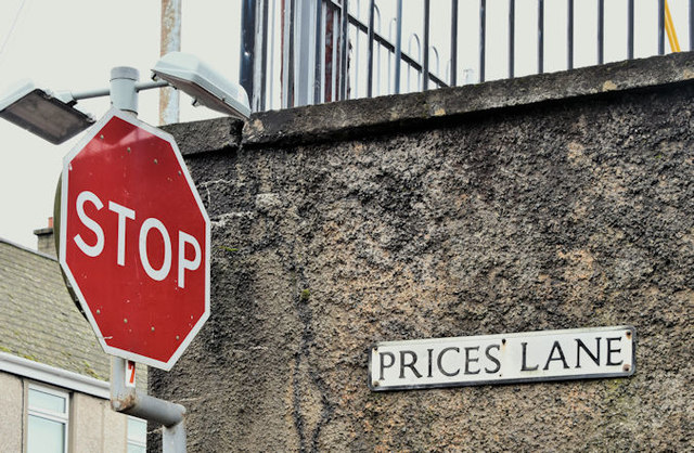
Image: © Albert Bridge Taken: 24 Jan 2017
See Image The name sign (without the apostrophe) at the East Street end. I can’t find many web references but the Ards Historical Society http://www.ardshistoricalsociety.org.uk/ has this “An interesting feature of the town was the 'Back Street' which apparently consisted of a single row of houses stretching from Price's Lane to Mary Street and lying between Francis street and East street; the general line and indeed some of the individual houses can still be traced.”
Images are licensed for reuse under creativecommons.org/licenses/by-sa/2.0
Image Location
Latitude
54.594115
Longitude
-5.693177