Bend on road to Coshogle
Introduction
The photograph on this page of Bend on road to Coshogle by Alan O'Dowd as part of the Geograph project.
The Geograph project started in 2005 with the aim of publishing, organising and preserving representative images for every square kilometre of Great Britain, Ireland and the Isle of Man.

There are currently over 7.5m images from over 14,400 individuals and you can help contribute to the project by visiting https://www.geograph.org.uk
Bend on road to Coshogle
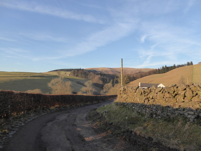
Image: © Alan O'Dowd Taken: 21 Jan 2017
The rough dead-end road up from the A76 to the farm at Coshogle winds round in a hairpin bend. The house visible here is a modern house adjacent to Coshogle Cottages.
Images are licensed for reuse under creativecommons.org/licenses/by-sa/2.0
Image Location
Latitude
55.326401
Longitude
-3.800546