Llwyncyfarthwch houses, Llanelli
Introduction
The photograph on this page of Llwyncyfarthwch houses, Llanelli by Jaggery as part of the Geograph project.
The Geograph project started in 2005 with the aim of publishing, organising and preserving representative images for every square kilometre of Great Britain, Ireland and the Isle of Man.

There are currently over 7.5m images from over 14,400 individuals and you can help contribute to the project by visiting https://www.geograph.org.uk
Llwyncyfarthwch houses, Llanelli
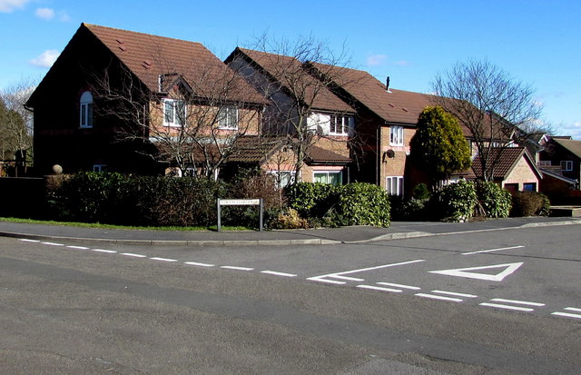
Image: © Jaggery Taken: 10 Mar 2016
Houses near the Coed Cae Road end of the cul-de-sac named Llwyncyfarthwch, http://www.geograph.org.uk/photo/5262339 which must be a candidate for the longest one-word street name in Llanelli.
Images are licensed for reuse under creativecommons.org/licenses/by-sa/2.0
Image Location
Latitude
51.680123
Longitude
-4.141205