End of the 20 zone, Palace Avenue, Llanelli
Introduction
The photograph on this page of End of the 20 zone, Palace Avenue, Llanelli by Jaggery as part of the Geograph project.
The Geograph project started in 2005 with the aim of publishing, organising and preserving representative images for every square kilometre of Great Britain, Ireland and the Isle of Man.

There are currently over 7.5m images from over 14,400 individuals and you can help contribute to the project by visiting https://www.geograph.org.uk
End of the 20 zone, Palace Avenue, Llanelli
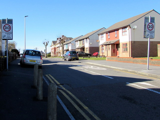
Image: © Jaggery Taken: 10 Mar 2016
Viewed from the corner of Heol Elli. The 20mph speed limit near two schools increases to 30mph ahead.
Images are licensed for reuse under creativecommons.org/licenses/by-sa/2.0
Image Location
Latitude
51.680245
Longitude
-4.149312