Wordless signs facing the A4810 Queensway Meadows, Newport
Introduction
The photograph on this page of Wordless signs facing the A4810 Queensway Meadows, Newport by Jaggery as part of the Geograph project.
The Geograph project started in 2005 with the aim of publishing, organising and preserving representative images for every square kilometre of Great Britain, Ireland and the Isle of Man.

There are currently over 7.5m images from over 14,400 individuals and you can help contribute to the project by visiting https://www.geograph.org.uk
Wordless signs facing the A4810 Queensway Meadows, Newport
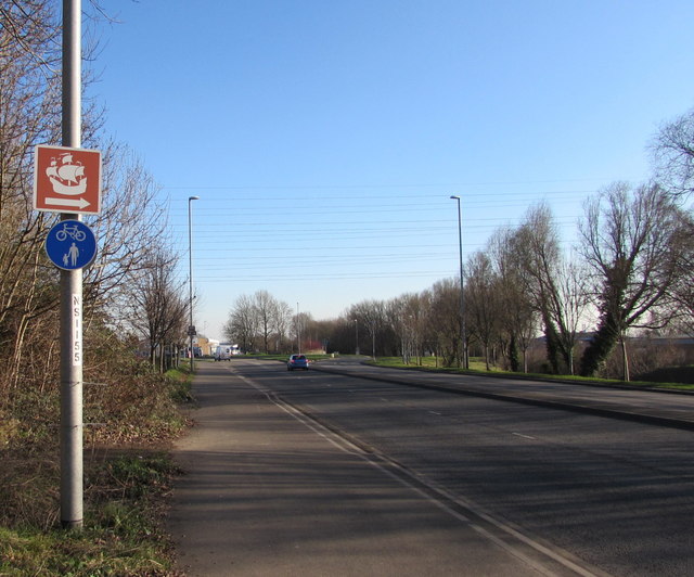
Image: © Jaggery Taken: 21 Jan 2017
The blue sign indicates a shared footpath and cycle path. The white arrow on the brown sign points towards the current location of Newport Medieval Ship which was discovered in June 2002 when excavations were being made on the west bank of the River Usk before the construction of The Riverfront Arts Centre.
Images are licensed for reuse under creativecommons.org/licenses/by-sa/2.0
Image Location
Latitude
51.573301
Longitude
-2.94335