King Street Caerfyrddin/Carmarthen
Introduction
The photograph on this page of King Street Caerfyrddin/Carmarthen by Natasha Ceridwen de Chroustchoff as part of the Geograph project.
The Geograph project started in 2005 with the aim of publishing, organising and preserving representative images for every square kilometre of Great Britain, Ireland and the Isle of Man.

There are currently over 7.5m images from over 14,400 individuals and you can help contribute to the project by visiting https://www.geograph.org.uk
King Street Caerfyrddin/Carmarthen
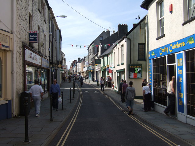
Image: © Natasha Ceridwen de Chroustchoff Taken: 11 Aug 2007
Looking west from St Peter's church. King Street was the town's main commercial centre until new developments took place elsewhere. It still has many traditional-type shops, banks and the post office.
Images are licensed for reuse under creativecommons.org/licenses/by-sa/2.0
Image Location
Latitude
51.857097
Longitude
-4.302957