Riverside dwellings, Wadebridge
Introduction
The photograph on this page of Riverside dwellings, Wadebridge by Derek Harper as part of the Geograph project.
The Geograph project started in 2005 with the aim of publishing, organising and preserving representative images for every square kilometre of Great Britain, Ireland and the Isle of Man.

There are currently over 7.5m images from over 14,400 individuals and you can help contribute to the project by visiting https://www.geograph.org.uk
Riverside dwellings, Wadebridge
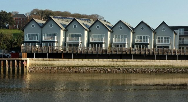
Image: © Derek Harper Taken: 20 Jan 2017
New houses on Bradfords Quay overlooking the River Camel, with Gonvena House https://www.historicengland.org.uk/listing/the-list/list-entry/1142999 in shadow up on the left.
Images are licensed for reuse under creativecommons.org/licenses/by-sa/2.0
Image Location
Latitude
50.518777
Longitude
-4.836334