West Parade
Introduction
The photograph on this page of West Parade by Ian Capper as part of the Geograph project.
The Geograph project started in 2005 with the aim of publishing, organising and preserving representative images for every square kilometre of Great Britain, Ireland and the Isle of Man.

There are currently over 7.5m images from over 14,400 individuals and you can help contribute to the project by visiting https://www.geograph.org.uk
West Parade
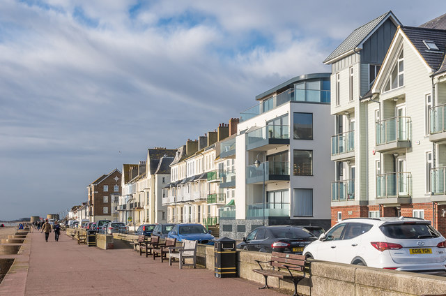
Image: © Ian Capper Taken: 14 Jan 2017
Mixture of old and new housing on West Parade. The nearest block, Seven Seas, was completed in 2012 and that beyond, Four Winds Court, in 2009, the latter replacing a restaurant of the same name which closed in 2005. In contrast, the two terraces beyond are both late 19th Century. In the far distance can be seen a couple of Martello Towers.
Images are licensed for reuse under creativecommons.org/licenses/by-sa/2.0
Image Location
Latitude
51.06558
Longitude
1.083432