Path from Fern Road
Introduction
The photograph on this page of Path from Fern Road by Patrick Roper as part of the Geograph project.
The Geograph project started in 2005 with the aim of publishing, organising and preserving representative images for every square kilometre of Great Britain, Ireland and the Isle of Man.

There are currently over 7.5m images from over 14,400 individuals and you can help contribute to the project by visiting https://www.geograph.org.uk
Path from Fern Road
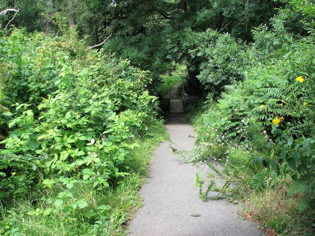
Image: © Patrick Roper Taken: 18 Jul 2009
This path from Fern Road crosses the Hollington Stream over the bridge in the picture, then continues to Gillsmans Hill
Images are licensed for reuse under creativecommons.org/licenses/by-sa/2.0
Image Location
Latitude
50.864236
Longitude
0.541845