View of Combe Valley, St. Leonards-on-Sea
Introduction
The photograph on this page of View of Combe Valley, St. Leonards-on-Sea by Patrick Roper as part of the Geograph project.
The Geograph project started in 2005 with the aim of publishing, organising and preserving representative images for every square kilometre of Great Britain, Ireland and the Isle of Man.

There are currently over 7.5m images from over 14,400 individuals and you can help contribute to the project by visiting https://www.geograph.org.uk
View of Combe Valley, St. Leonards-on-Sea
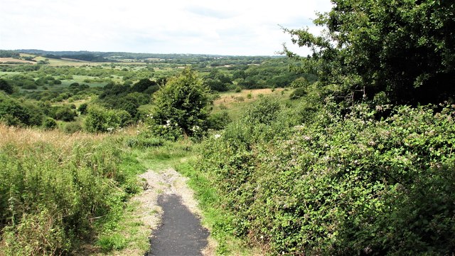
Image: © Patrick Roper Taken: 18 Jul 2009
An area of open countryside (now crossed by the new Hastings/Bexhill Link Road) to the west of Filsham Road, St. Leonards-on-Sea.
Images are licensed for reuse under creativecommons.org/licenses/by-sa/2.0
Image Location
Latitude
50.861565
Longitude
0.528199