2 - 22 Marine Parade
Introduction
The photograph on this page of 2 - 22 Marine Parade by Ian Capper as part of the Geograph project.
The Geograph project started in 2005 with the aim of publishing, organising and preserving representative images for every square kilometre of Great Britain, Ireland and the Isle of Man.

There are currently over 7.5m images from over 14,400 individuals and you can help contribute to the project by visiting https://www.geograph.org.uk
2 - 22 Marine Parade
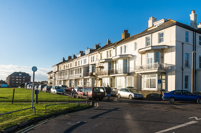
Image: © Ian Capper Taken: 14 Jan 2017
Late 19th Century terrace marked on old maps up to the 1930s as Beaconsfield Terrace. It was built on part of the site of Fort Twiss, built in 1798 but demolished after being sold in 1875.
Images are licensed for reuse under creativecommons.org/licenses/by-sa/2.0
Image Location
Latitude
51.067617
Longitude
1.093161