College Street
Introduction
The photograph on this page of College Street by Thomas Nugent as part of the Geograph project.
The Geograph project started in 2005 with the aim of publishing, organising and preserving representative images for every square kilometre of Great Britain, Ireland and the Isle of Man.

There are currently over 7.5m images from over 14,400 individuals and you can help contribute to the project by visiting https://www.geograph.org.uk
College Street
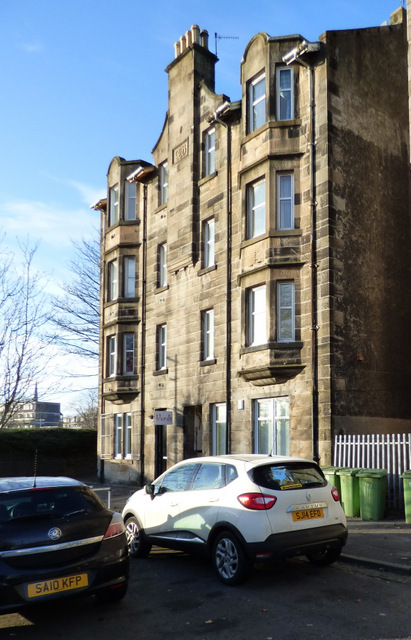
Image: © Thomas Nugent Taken: 5 Jan 2017
A tenement at what is now the south end of College Street, since the street was truncated by the re-alignment of the A814 Glasgow Road through the town in the early 1970s.
Images are licensed for reuse under creativecommons.org/licenses/by-sa/2.0
Image Location


Leaflet Map data © OpenStreetMap
Latitude
55.945802
Longitude
-4.568946