Woodbine Terrace
Introduction
The photograph on this page of Woodbine Terrace by Gerald England as part of the Geograph project.
The Geograph project started in 2005 with the aim of publishing, organising and preserving representative images for every square kilometre of Great Britain, Ireland and the Isle of Man.

There are currently over 7.5m images from over 14,400 individuals and you can help contribute to the project by visiting https://www.geograph.org.uk
Woodbine Terrace
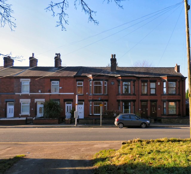
Image: © Gerald England Taken: 20 Jan 2017
Terraced housing on King Street by the bus stop opposite St Luke's Church Image The terrace has a plaque Image dating them to 1896.
Images are licensed for reuse under creativecommons.org/licenses/by-sa/2.0
Image Location
Latitude
53.474375
Longitude
-2.091864