St Luke's, Dukinfield
Introduction
The photograph on this page of St Luke's, Dukinfield by Gerald England as part of the Geograph project.
The Geograph project started in 2005 with the aim of publishing, organising and preserving representative images for every square kilometre of Great Britain, Ireland and the Isle of Man.

There are currently over 7.5m images from over 14,400 individuals and you can help contribute to the project by visiting https://www.geograph.org.uk
St Luke's, Dukinfield
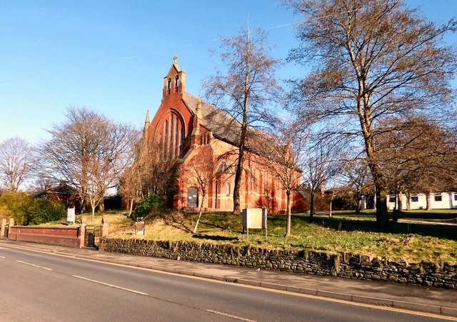
Image: © Gerald England Taken: 20 Jan 2017
St Luke's, Dukinfield was founded in 1889 as a chapel to St John the Evangelist and became a district church in 1906. St Luke's parish was dissolved into the parish of St Mark's, Dukinfield in October 2016.
Images are licensed for reuse under creativecommons.org/licenses/by-sa/2.0
Image Location
Latitude
53.474375
Longitude
-2.091412