Gam Bridge
Introduction
The photograph on this page of Gam Bridge by Derek Harper as part of the Geograph project.
The Geograph project started in 2005 with the aim of publishing, organising and preserving representative images for every square kilometre of Great Britain, Ireland and the Isle of Man.

There are currently over 7.5m images from over 14,400 individuals and you can help contribute to the project by visiting https://www.geograph.org.uk
Gam Bridge
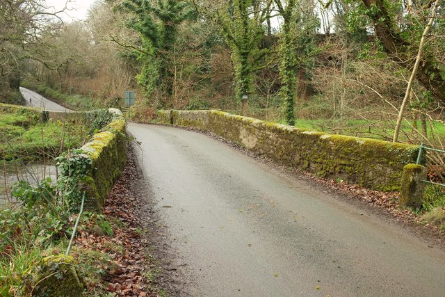
Image: © Derek Harper Taken: 22 Jan 2017
Over the River Camel and the River Allen which meets it here. The Camel is followed, at least upstream from here, by the parish boundary between Michaelstow (far side) and St Breward. Consequently there are two listed building descriptions, virtually identical: https://www.historicengland.org.uk/listing/the-list/list-entry/1157966 and https://www.historicengland.org.uk/listing/the-list/list-entry/1311392 . Beyond are Helsbury Park Woods.
Images are licensed for reuse under creativecommons.org/licenses/by-sa/2.0
Image Location
Latitude
50.569145
Longitude
-4.700383