Wilsford thatch [9]
Introduction
The photograph on this page of Wilsford thatch [9] by Michael Dibb as part of the Geograph project.
The Geograph project started in 2005 with the aim of publishing, organising and preserving representative images for every square kilometre of Great Britain, Ireland and the Isle of Man.

There are currently over 7.5m images from over 14,400 individuals and you can help contribute to the project by visiting https://www.geograph.org.uk
Wilsford thatch [9]
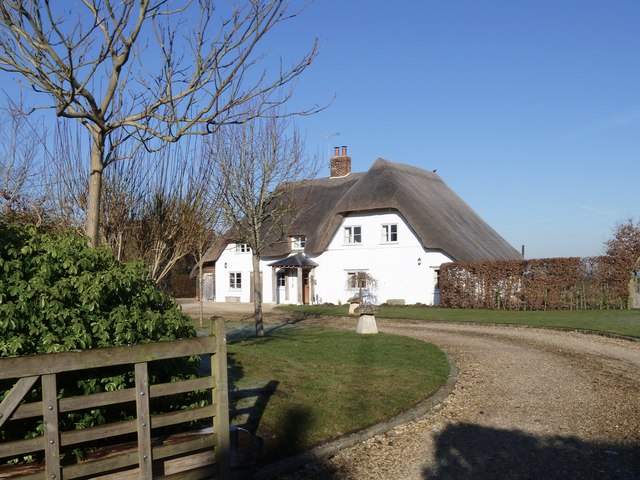
Image: © Michael Dibb Taken: 21 Jan 2017
This property is listed as two cottages in a row, one 17th century and one 19th century. They were converted to a single dwelling in 2006. Listed, grade II, with details at: https://www.historicengland.org.uk/listing/the-list/list-entry/1116072
Images are licensed for reuse under creativecommons.org/licenses/by-sa/2.0
Image Location


Leaflet Map data © OpenStreetMap
Latitude
51.314364
Longitude
-1.856758