Trevigue Farmhouse
Introduction
The photograph on this page of Trevigue Farmhouse by Derek Harper as part of the Geograph project.
The Geograph project started in 2005 with the aim of publishing, organising and preserving representative images for every square kilometre of Great Britain, Ireland and the Isle of Man.

There are currently over 7.5m images from over 14,400 individuals and you can help contribute to the project by visiting https://www.geograph.org.uk
Trevigue Farmhouse
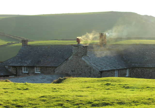
Image: © Derek Harper Taken: 19 Jan 2017
A detail of the scene in Image The L-shaped farmhouse is listed and described at https://www.historicengland.org.uk/listing/the-list/list-entry/1328244 : "A Domesday manor". Again, High Cliff is behind.
Images are licensed for reuse under creativecommons.org/licenses/by-sa/2.0
Image Location
Latitude
50.72636
Longitude
-4.642107