Church Fenton junction
Introduction
The photograph on this page of Church Fenton junction by Tim Glover as part of the Geograph project.
The Geograph project started in 2005 with the aim of publishing, organising and preserving representative images for every square kilometre of Great Britain, Ireland and the Isle of Man.

There are currently over 7.5m images from over 14,400 individuals and you can help contribute to the project by visiting https://www.geograph.org.uk
Church Fenton junction
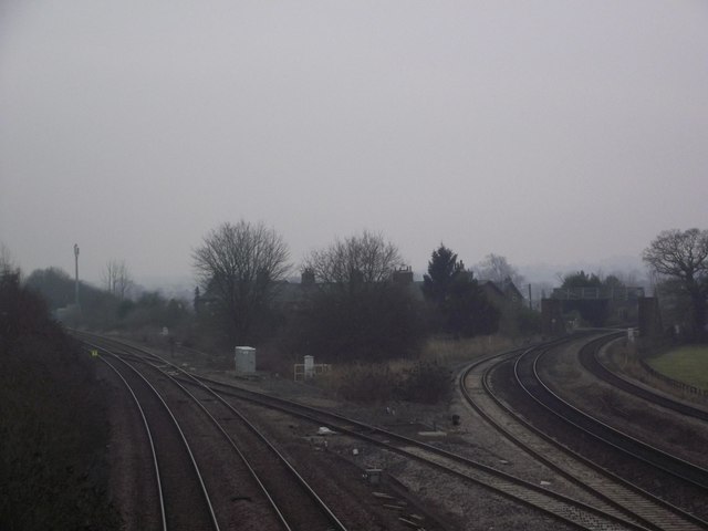
Image: © Tim Glover Taken: 22 Jan 2017
The route on the left was built by the York & North Midland Railway to Normanton in 1839; that to the right was opened by the North Eastern Railway thirty years later and leads to Leeds.
Images are licensed for reuse under creativecommons.org/licenses/by-sa/2.0
Image Location


Leaflet Map data © OpenStreetMap
Latitude
53.825077
Longitude
-1.228528