Northern boundary of Hardwicke village and Stroud District, Gloucestershire
Introduction
The photograph on this page of Northern boundary of Hardwicke village and Stroud District, Gloucestershire by Jaggery as part of the Geograph project.
The Geograph project started in 2005 with the aim of publishing, organising and preserving representative images for every square kilometre of Great Britain, Ireland and the Isle of Man.

There are currently over 7.5m images from over 14,400 individuals and you can help contribute to the project by visiting https://www.geograph.org.uk
Northern boundary of Hardwicke village and Stroud District, Gloucestershire
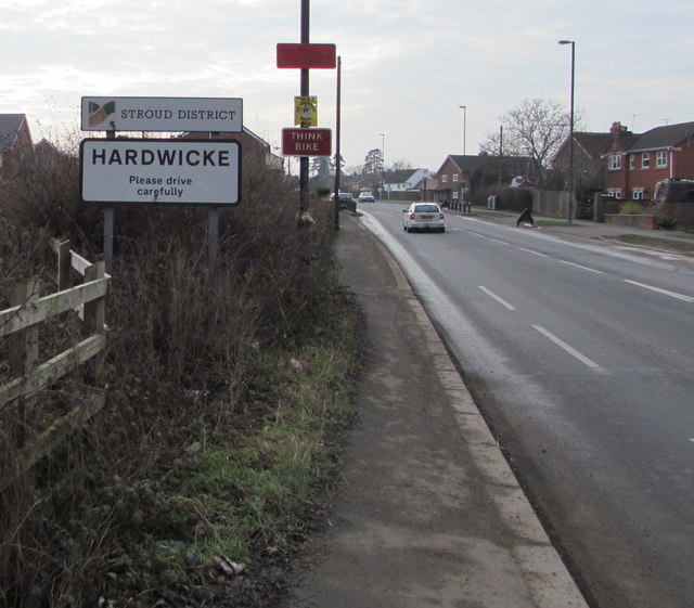
Image: © Jaggery Taken: 22 Jan 2017
The signs alongside the B4008 Bristol Road face Quedgeley, a southern suburb of the city of Gloucester.
Images are licensed for reuse under creativecommons.org/licenses/by-sa/2.0
Image Location
Latitude
51.815651
Longitude
-2.281816