Valley and Trehole Farm
Introduction
The photograph on this page of Valley and Trehole Farm by Derek Harper as part of the Geograph project.
The Geograph project started in 2005 with the aim of publishing, organising and preserving representative images for every square kilometre of Great Britain, Ireland and the Isle of Man.

There are currently over 7.5m images from over 14,400 individuals and you can help contribute to the project by visiting https://www.geograph.org.uk
Valley and Trehole Farm
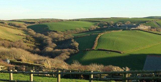
Image: © Derek Harper Taken: 19 Jan 2017
Looking across the valley of the Crackington Stream, with a further wooded side valley on the left, and the farm on the right. The farmhouse, tucked away somewhere in there, is listed https://www.historicengland.org.uk/listing/the-list/list-entry/1142406 . View from the lane near Woodgate.
Images are licensed for reuse under creativecommons.org/licenses/by-sa/2.0
Image Location
Latitude
50.728432
Longitude
-4.634004