Dunfermline, Masterton looking North
Introduction
The photograph on this page of Dunfermline, Masterton looking North by Bob Allan as part of the Geograph project.
The Geograph project started in 2005 with the aim of publishing, organising and preserving representative images for every square kilometre of Great Britain, Ireland and the Isle of Man.

There are currently over 7.5m images from over 14,400 individuals and you can help contribute to the project by visiting https://www.geograph.org.uk
Dunfermline, Masterton looking North
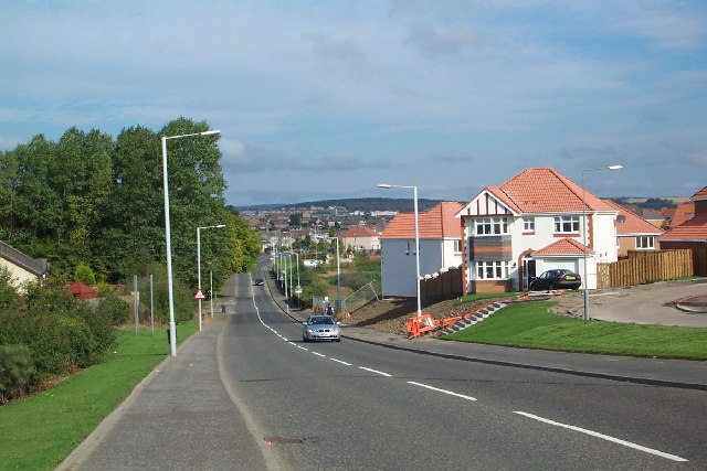
Image: © Bob Allan Taken: 12 Sep 2005
View North with Dunfermline crematorium in trees forward left, Queen Margaret district general hospital white building in distance to right of centre. Duloch housing sprouting to the right.
Images are licensed for reuse under creativecommons.org/licenses/by-sa/2.0
Image Location


Leaflet Map data © OpenStreetMap
Latitude
56.052457
Longitude
-3.412886