Mundaydean Bottom
Introduction
The photograph on this page of Mundaydean Bottom by Des Blenkinsopp as part of the Geograph project.
The Geograph project started in 2005 with the aim of publishing, organising and preserving representative images for every square kilometre of Great Britain, Ireland and the Isle of Man.

There are currently over 7.5m images from over 14,400 individuals and you can help contribute to the project by visiting https://www.geograph.org.uk
Mundaydean Bottom
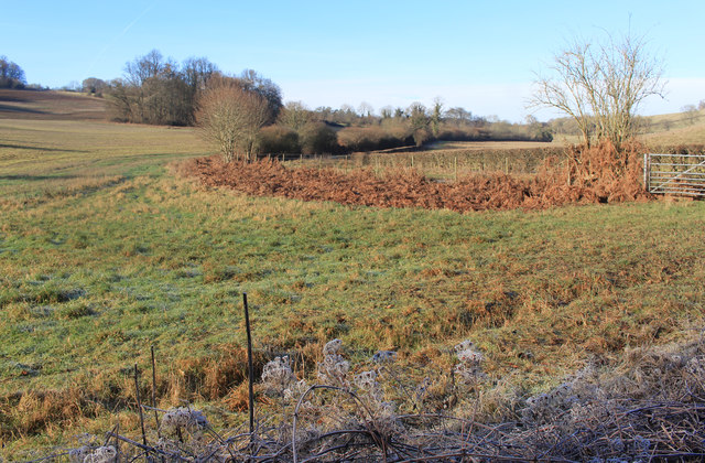
Image: © Des Blenkinsopp Taken: 18 Jan 2017
A Chiltern dry valley west of Marlow. Mundaydean Lane runs along it for around three and a bit kms. up to some houses at the end.
Images are licensed for reuse under creativecommons.org/licenses/by-sa/2.0
Image Location
Latitude
51.580699
Longitude
-0.802538