Stonebriggs
Introduction
The photograph on this page of Stonebriggs by Anne Burgess as part of the Geograph project.
The Geograph project started in 2005 with the aim of publishing, organising and preserving representative images for every square kilometre of Great Britain, Ireland and the Isle of Man.

There are currently over 7.5m images from over 14,400 individuals and you can help contribute to the project by visiting https://www.geograph.org.uk
Stonebriggs
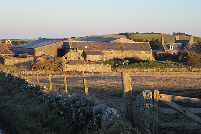
Image: © Anne Burgess Taken: 20 Jan 2017
One of the farms where the steading dwarfs the house; the modern buildings behind the traditional stone one are probably cattel courts.
Images are licensed for reuse under creativecommons.org/licenses/by-sa/2.0
Image Location
Latitude
57.678829
Longitude
-2.141839